
By Marjorie Longo
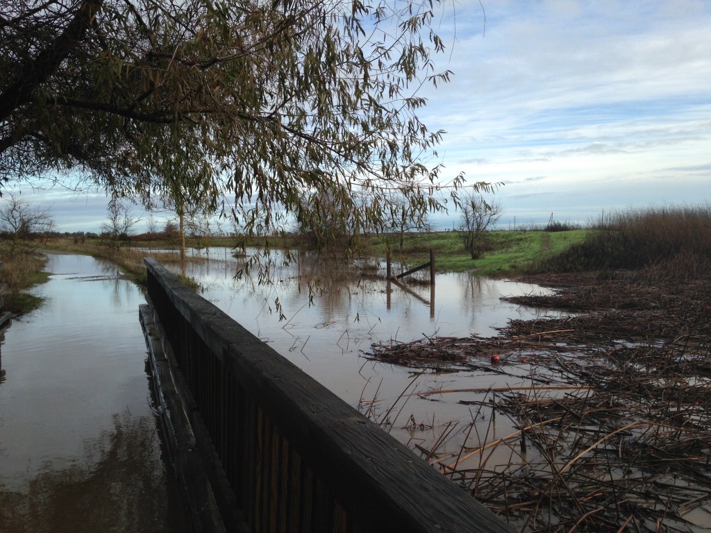
Water doesn’t care about property lines—it flows wherever the land takes it. That’s why flood studies shouldn’t stop at property lines. However, the Village Farms flood analysis mostly focuses on the project itself and a few broader downstream areas (https://www.cityofdavis.org/city-hall/community-development/development-projects/village-farms-davis). It does not show detailed results for existing neighborhoods—the places where people actually live, drive, and may need emergency access. Where are the post-Village Farms flood maps for Wildhorse, North Davis, or the streets south of Covell? A few extra inches of water during a storm can mean the difference between a dry home and a flooded one, or between a passable road and a blocked evacuation route.
While the Village Farms flood analysis provides numbers for farmland and shows water pooling on the Wildhorse Golf Course and Wildhorse Agricultural Buffer, it doesn’t answer the key question residents have: what happens on my street? When the next atmospheric river is dumping on Davis, runoff spreads broadly over our flat topography. And inches of extra flood water add thousands of dollars of damage to flooded homes and can mean the difference between muddy flood water in your home or not.
There’s also a gap in how these projects are regulated. Federal FEMA approvals (like CLOMRs and LOMRs) check whether flood maps meet certain standards, but they don’t guarantee that nearby properties won’t see increased flooding. FEMA’s no‑rise rule applies to regulatory floodways only, not to the neighborhoods surrounding those floodways. Local rules in Davis and Yolo County require studies, but they don’t clearly set a strict limit like “zero increase allowed” for neighboring areas. This leaves room for projects to meet technical requirements while still potentially shifting flood risk onto nearby communities.
Experts in flood management, such as The Association of State Floodplain Managers, argue that one property owner’s project should not make flooding worse for others. Some parts of the country are moving toward this “no adverse impact” approach, using detailed, citywide computer models that simulate flooding across entire neighborhoods—not just individual sites (https://fortress.wa.gov/ecy/ezshare/wq/SWMMs/2024SWMMWW/Content/Topics/Shared/APMs/APM2OffSiteAnalysisReport.htm, https://streamline.tech/resources/2d-overland-flow-or-not-2d-overland-flow-that-is-the-question).
With a more forward-thinking flood-control approach, the City of Davis should have taken several steps:
- Require flood modeling that includes all nearby neighborhoods, not just the project site and unpopulated land.
- Set a clear rule of no measurable increase in flooding outside the project area.
- Ensure FEMA approvals also meet stricter local no-impact standards.
- Make all neighborhood flood maps and data publicly available so residents can see the risks.
Davis prides itself on data-driven decisions. In flood planning, that means showing clearly—block by block—what will happen outside a project’s boundaries. Because when the rain comes, the water won’t stop at the fence—and neither should the analysis.
Marjorie Longo is an Emeritus Professor of Chemical Engineering, UC Davis

Leave a comment